Skills & Tips
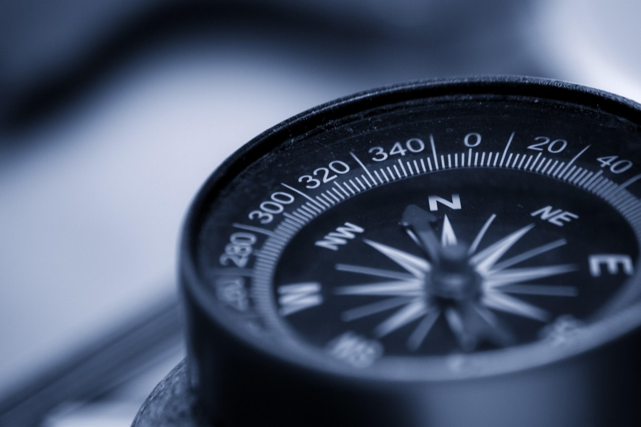
I've been on trails where my phone had no signal for three days, and I've watched a hiking partner's GPS watch freeze at the worst possible moment. Technology is wonderful until it isn't. The hikers who stay found are the ones who can navigate with a map and compass, and who treat their GPS as a helpful extra rather than a crutch.
This isn't about being old-fashioned. It's about having layers of redundancy so a dead battery or a lost trail doesn't turn into a search and rescue call.
The foundation is reading a topographic map. Contour lines show elevation, and the shape of those lines tells you whether you're looking at a gentle slope, a steep cliff, or a valley. Once you can picture the terrain in three dimensions from a flat sheet of paper, you're most of the way there. Practice by looking at a map of an area you know well and matching the lines to the hills you've walked.
Next is orienting the map. You can do this with a compass by aligning the map's north with magnetic north, adjusting for declination, which is the difference between true north and magnetic north for your location. Declination changes depending on where you are, and ignoring it can put you off course by a significant margin over a long day. Your map will tell you the local declination, usually in the legend.
Then comes taking a bearing. If you can see a landmark, like a peak or a lake, you point the compass at it, read the bearing, and follow that direction. If you can't see your target, you can use terrain features, like a ridge or a stream, to triangulate your position. This sounds complicated, but it's a skill you can learn in an afternoon and refine over a few hikes.
The most practical skill of all is terrain association: matching what you see around you to what's on the map. If you're walking along a ridgeline and the map shows a saddle ahead, you know what's coming. If you cross a stream and the map shows it flowing east, you can confirm your direction. This is how most experienced hikers navigate most of the time.
GPS is a fantastic tool, but it's not magic. A phone app works only as long as the battery lasts, and cold weather drains batteries fast. A dedicated GPS unit lasts longer but can still fail, lose signal in deep canyons, or run out of track logs. Treat either one as a supplement, not a replacement.
Before a trip, download offline maps of your route. Carry a power bank and keep your phone in a warm pocket. Mark waypoints for camp, water sources, and trail junctions. But also carry a paper map and compass, and know how to use them. If your GPS dies, you should be able to pull out the map and keep moving with confidence.
The real goal is situational awareness. Check your map often, not just when you're lost. Note landmarks as you pass them. Pay attention to which direction the sun is moving and where the shadows fall. A hiker who knows where they are at all times rarely needs to navigate in a panic.
Practice these skills on easy trails before you need them on hard ones. Navigation is like any other outdoor skill: the more you use it, the more natural it becomes.
